Utility Mapping
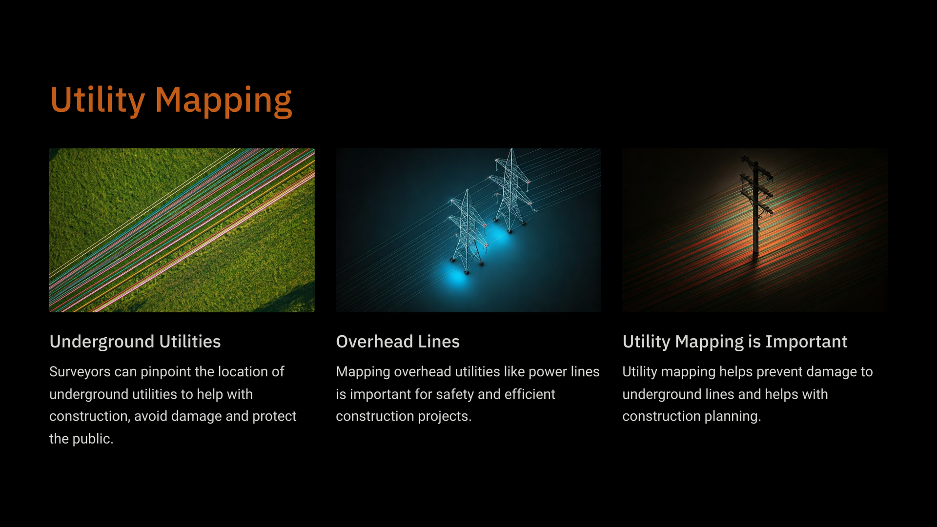
Utility mapping is a crucial process in the planning and management of infrastructure projects. It involves the identification, location, and documentation of underground utilities such as water, gas, electricity, telecommunications, and sewage systems. This mapping is essential for several reasons:

Importance of Utility Mapping in Construction Projects
Safety: Knowing the exact location of utilities helps prevent accidents during construction or excavation, reducing the risk of damaging existing infrastructure and ensuring worker safety.
Efficiency: Accurate utility maps streamline project planning and execution. They allow engineers and contractors to design projects that avoid conflicts with existing utilities, minimizing delays and additional costs.
Regulatory Compliance: Many jurisdictions require utility mapping as part of the permitting process for construction projects. Compliance with these regulations helps avoid legal issues and fines.
Asset Management: Utility mapping aids in the maintenance and management of utility networks. It provides a comprehensive overview of the infrastructure, facilitating better decision-making regarding repairs, upgrades, and expansions.
Technological Integration: Modern utility mapping often utilizes advanced technologies such as Geographic Information Systems (GIS), Ground Penetrating Radar (GPR), and 3D modeling. These tools enhance the accuracy and usability of utility maps.
How Are Utility Mapping Surveys Conducted?
Utility mapping surveys are conducted through a systematic process that involves several key steps to ensure accurate identification and documentation of underground utilities. Here’s an overview of how these surveys are typically carried out:
Pre-Survey Research:
- Gather Existing Data: Before conducting a survey, researchers collect existing utility maps, as-built drawings, and records from utility companies. This preliminary data helps in understanding the potential locations of utilities.
- Site Assessment: A site visit is conducted to assess the area and identify any visible utility markers or access points. This helps in planning the survey approach.
Utility Locating Techniques:
- Electromagnetic Locating: This method involves using electromagnetic equipment to detect the electromagnetic fields generated by active utilities. It is effective for locating metallic pipes and cables.
- Ground Penetrating Radar (GPR): GPR uses radar pulses to image the subsurface. It is particularly useful for locating non-metallic utilities, such as plastic pipes, and can provide a visual representation of the utility layout.
- Acoustic Methods: These techniques involve listening for sounds generated by flowing liquids or gases in pipes. They can help locate leaks or identify the presence of utilities.

Contact Us
We will get back to you as soon as possible.
Please try again later.
