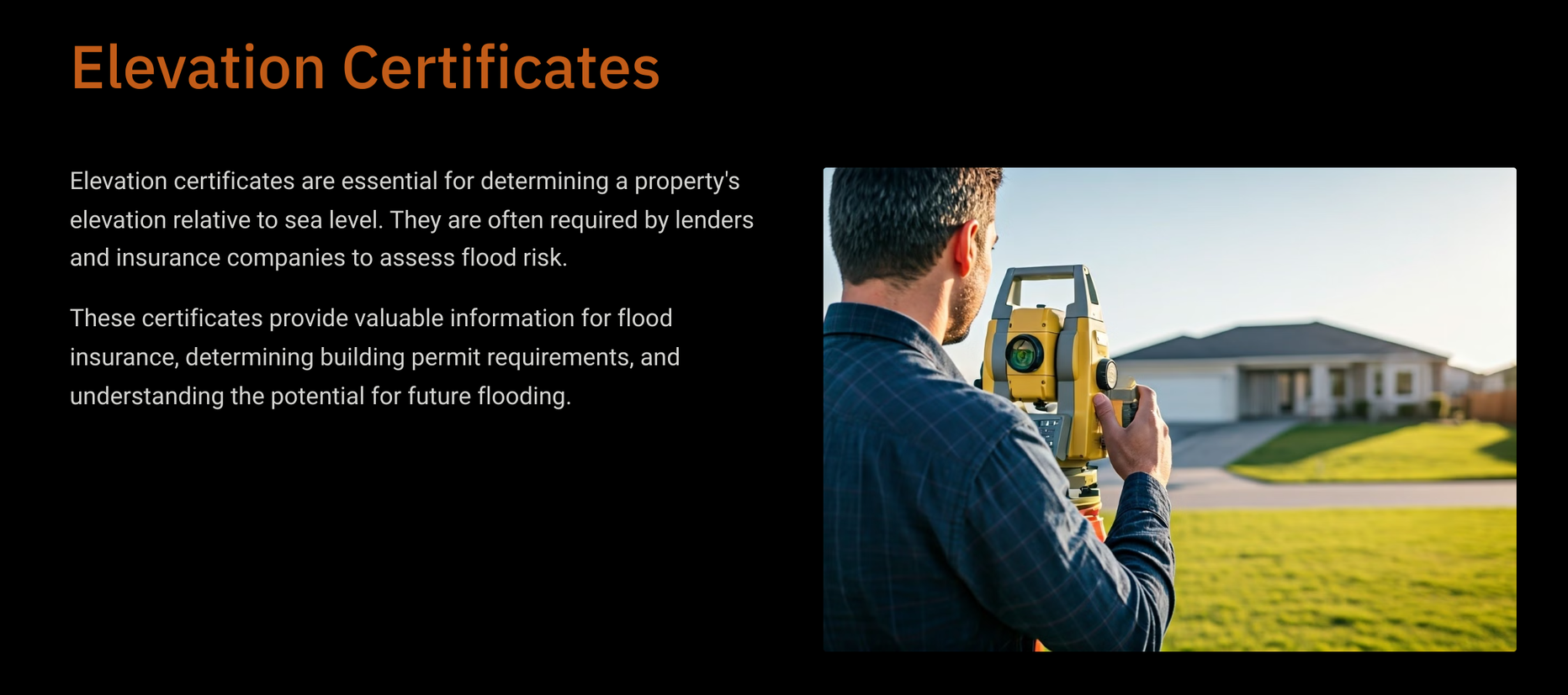
Elevation Certificates
An elevation certificate is a crucial document used to provide elevation information necessary for determining a property’s flood risk. It is often required by insurance companies and municipalities to establish compliance with local floodplain regulations. If you reside in The Woodlands, TX, having an accurate elevation certificate can significantly impact your home insurance requirements and premiums. At Six Pines Land Surveyor, we specialize in providing comprehensive surveying services, including elevation certificates, boundary surveys, and construction staking. We can help ensure that your elevation certificate reflects precise data, giving you peace of mind and helping you make informed decisions regarding your property.

Importance of Elevation Certificates
Elevation certificates play a vital role in determining flood risk for properties located within flood-prone areas. By providing accurate elevation information, these certificates help insurance companies determine appropriate coverage and premiums for homeowners. Additionally, municipalities use elevation certificates to enforce building codes and regulations related to construction within designated flood zones. Obtaining an elevation certificate can also be beneficial when buying or selling a property. It provides crucial information that can impact the value and potential risks associated with a property.
Obtaining an Elevation Certificate in The Woodlands, TX
The Woodlands, TX is known for its lush landscape and beautiful homes. However, the area is also susceptible to floods due to its proximity to Lake Conroe and other waterways. This makes it essential for homeowners in the area to obtain accurate elevation certificates to ensure proper insurance coverage and compliance with local regulations. Our team of experienced surveyors uses state-of-the-art equipment and techniques to provide precise elevation data for our clients. We are familiar with the local floodplain regulations and can help you navigate through the process of obtaining an elevation certificate with minimal stress.
Impact on Home Insurance Requirements
Your home insurance requirements can be significantly influenced by the information contained in your elevation certificate. Accurate elevation data plays a vital role in determining your flood risk classification. If your property is assessed to be at a lower flood risk due to its elevation, you may qualify for lower insurance premiums, which can lead to substantial savings over time. Conversely, inaccuracies in the elevation certificate can lead to higher premiums, increased financial burden, or even denial of coverage entirely, leaving homeowners vulnerable. By partnering with a reliable surveying company like ours, you can ensure that your elevation certificate is not only accurate but also tailored to meet your specific home insurance needs. Our experienced team uses state-of-the-art technology and expertise to provide precise measurements, giving you peace of mind that your coverage reflects the true risk associated with your property. This proactive approach can save you money and protect your investment in the long run.
Get Your Elevation Certificate Today
At Six Pines Land Surveyor, our team is ready to assist you in obtaining an accurate and reliable elevation certificate that meets all local regulations. Contact us today to schedule your elevation survey and secure the necessary documentation for your property. We understand the importance of timely and efficient service, and we strive to provide our clients with the highest quality work at competitive prices. Protect your home and your investment by obtaining an elevation certificate from our experienced team.

Contact Us
We will get back to you as soon as possible.
Please try again later.
